Site layouts. See what a site could actually take.
We are close to launching indicative site layouts: a first read on how many homes a site could hold, how they sit on the ground, and whether the scheme actually works. Drawn from the site's own constraints, not a blank sheet.
Drawings shown are from our own demonstration sites, produced to illustrate the output. Every layout is indicative.
What each layout holds
A layout is only useful if it survives contact with the people who will scrutinise it. So each one is built against the things that actually decide whether a scheme stands up.
How many plots a site could realistically take, and how they sit together.
Existing levels from survey-grade terrain data, so the layout answers to the slope rather than a flat sheet. Sections are cut through the site.
Junction visibility and stopping sight distances set against the standards a highways officer will apply.
Attenuation and SuDS basins placed as part of the layout, not bolted on once the plots are drawn.
Amenity green, wildflower meadow and buffers held in the plan from the start.
Carriageway and footpath widths, storey heights and the sense of enclosure, drawn to true scale.
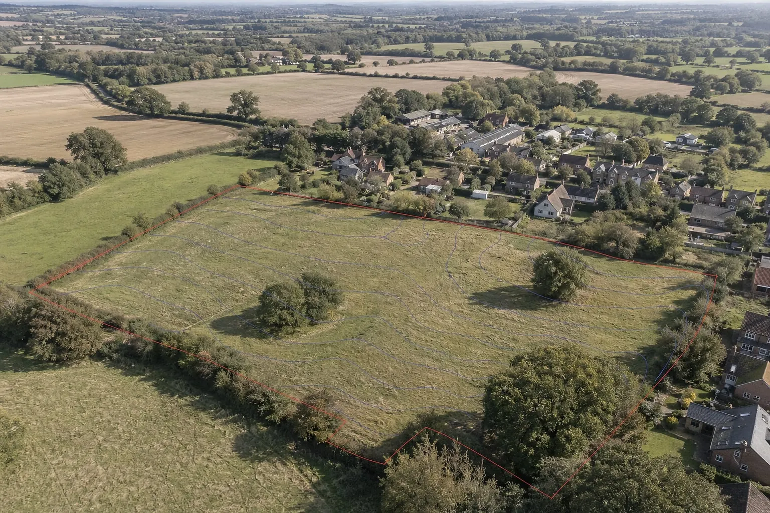
A real scheme, on the real slope: capacity, access, drainage and green space held together from the start.
These are indicative layouts, not detailed designs. They are not planning application drawings and they do not replace an architect or an engineer. Every drawing states the assumptions it rests on, so you can see exactly what was taken as given. Their job is to answer an earlier question: is this site worth taking further, and what could it realistically hold, before anyone commits to full design fees.
Beta, coming very soon
We are finishing the last of the testing. If you have a site you would like put through it first, tell us about it and we will come back to you when the beta opens.
In the meantime, see what is already on your site with the free planning check