Free Site Check. Pin a site, see what shapes it.
Search a postcode or use your location, then drop a pin, tap your land parcel, or draw your plot for a free read on the key designations.
Check as many sites as you like. No account, no card, no trial that runs out.
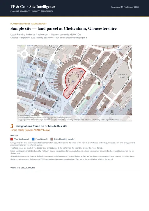
A sample free check report
The exact PDF we email you: your site mapped with its designations, the council’s decision speed, its Housing Delivery Test position where measured, and local market context. Free, on any English site.
No site yet? Search the council brownfield registers and check any entry from there.
On the site now? Use your location to centre the map — nothing is sent to us until you press Check. More
Finding you just moves the map on your device, exactly as when you drop a pin; no postcode needed.
Tick layers on and off. Designations, listed buildings, planning applications and sold prices can each be shown or hidden — tap Explore map layers. That changes the picture only; every constraint stays checked either way.
Click the map or search a postcode to drop a pin on your site.
for the full-screen workspace — one-finger pan, and the 5–20 km search of the published opportunity registers.
A free steer — not the full report
This checker is a quick, free way to orient yourself. It is not the report you'd commission from us — here's the honest difference.
Wondering whether a data tool is enough? See data or a decision →
Or see the free check next to the paid land-data platforms: How we compare →
- •Instant — at a pinned point or a drawn outline
- •Public open-data designations (conservation area, Green Belt, flood zone, listed buildings, TPOs and more)
- •A general "what might affect this site?" orientation
- •England only
- •Not a planning assessment, and not covered by professional indemnity insurance
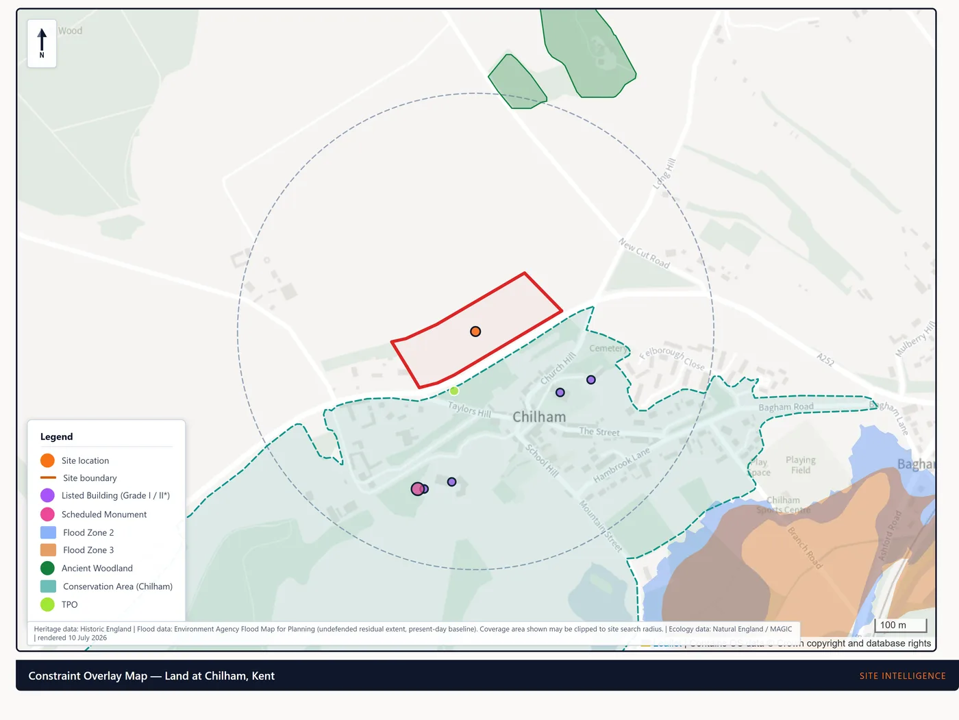
- Assesses your whole red-line site — not a single point
- Cross-checks the council's own records, catching what the national platform hasn't published
- Adds contaminated land, ground conditions, ecology, the detailed flood position, viability and a clear recommendation
- Issued within 48 hours, with every figure traced to source and 200+ automated quality checks on every report
- Optional add-on: a named personal sign-off or a chartered-planner review
A plain-English desktop review of your site or plot, issued in 48 hours.
See the homeowner reviewScreen every site in your pipeline free, then commission the go/no-go, viability and full evidence work only on the ones worth it.
See it for developersWant to see the real thing? Browse a complete anonymised client pack — a Site Appraisal through to a full application-support pack, every report as issued.
See the full sample report pack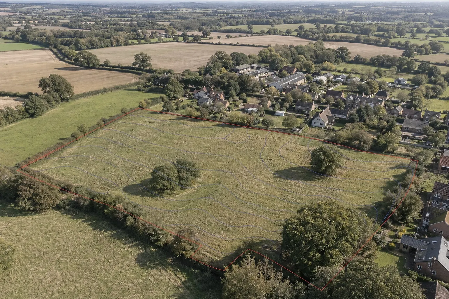
The free check reads a single point. The report reads your whole red-line site.
What the free check covers
A quick, point-based guide built on official open data — far less thorough than a full Site Intelligence review, and not covered by professional indemnity insurance. The full review covers the whole site and adds contaminated land, ground conditions, the detailed flood and ecology position, viability and a recommendation.