What the free check gives you.
A genuine first look at any site in England. The constraints, the council’s behaviour, the recent decisions. Costs you nothing here. That is the whole point of this page.
What you walk away with, for nothing
A first look at any site in England costs nothing here. No account, no card. Everything beyond it is priced per report, so you pay for the site you are actually looking at and nothing else.
Pick who you are.
Know the constraints before the first sketch.
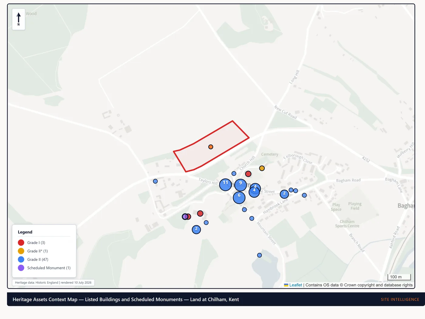
Before you design, the free check reads the site against 34 constraint layers. Conservation areas, listed buildings by grade, flood zones, protected trees, heritage. Each in plain English. Your concept starts from the real red-line context, not a blank sheet.
- A constraint read in seconds, on any site
- Heritage, flood and protected trees flagged with what they mean
- A go / pause / no-go Site Appraisal for RIBA Stage 0 / 1, from £295
The honest side-by-side
Where we are free and where we are genuinely not their equal, because parts of what they do we deliberately do not do.
| Capability | What you get |
|---|---|
| Cost to run a check | Free · no payment or account for a check. Saving a link or a weekly watch needs an email address. Fair-use limit of 120 checks per hour |
| Planning constraint screen | Free · 34 layers, each with one of four explicit states. Including "recorded nearby" and "coverage varies, absence is not an all-clear" |
| How long this council takes to decide | Free · historic median determination times with the sample size and window stated. Measured from our own crawl for 144 authorities; the remainder show MHCLG official in-time performance, labelled as such, for 310 |
| Housing Delivery Test | Free · the latest published result for the authority covering the site, with its measurement year. An authority-level measure, not a site assessment |
| What happened when people appealed | Free · allowed and dismissed outcomes decided by the Planning Inspectorate since 2021, for 196 authorities meeting a 100-appeal minimum, from 45,881 determinate appeals |
| Recently decided applications nearby | Free · selected applications decided near the point, with references and decision dates, where the authority publishes them. Not a complete list |
| What sold nearby | Free · nearby HM Land Registry Price Paid records with dates. Not a valuation and not a selection of comparables |
| Your parcel, tapped on the map | Free · HM Land Registry INSPIRE Index Polygons, selectable on the map. Indicative extents only. Not the legal title boundary, and not evidence of ownership |
| Watching a site | Free · a weekly email when what the sources record for a saved site changes. Needs an email address |
| Who owns it | We do not sell landowner details. We show you the £7 HM Land Registry title route, which covers private individuals that bulk datasets exclude entirely |
| Contacting owners / skip-tracing | We don't. By design |
| Searching across an area | Opportunity Screen · from £300, by constraint and council |
| Portfolio, CRM, data export, API | Not our lane |
| A report someone stands behind | From £295 · a 48-hour desk study, reviewed and signed off by a named person. The free check carries no professional indemnity cover; the reports do |
Everything above describes what this product does, and is checked against the shipped data on every build. The layer count against a live check, the authority counts and the appeal figures against the artefacts they come from. There is no comparison table here any more: we hold no account with any other provider, so we cannot verify what they do or do not include, and a comparison we cannot substantiate is not one worth publishing. Prices and features across this market change often; check any provider's own pages before deciding.
What the free check doesn’t cover
It screens mapped planning designations and hazards. It is a genuine first look, not a substitute for official searches or a survey. Here is what it does not check, plainly.
Ownership, boundaries, restrictive covenants, easements and private rights of way sit on the title, not on a map layer. Planning permission is not a right to build.
Contaminated land, ground stability, radon and unexploded ordnance are not screened. The coal check is a legacy screen, not a mining report.
It maps nature designations, not the bats, newts or nesting birds that can constrain any site. Those need an ecological survey.
Utility, drainage and sewer capacity, connection rights, and highway access and visibility are not assessed.
It shows Environment Agency river, sea and surface-water flood risk, but not groundwater or sewer flooding, and it is not a flood risk assessment.
Local, current or unpublished council data can differ. Confirm time-sensitive items (Article 4, conservation areas, protected trees) with the council.
Not a replacement for official local authority, mining, environmental or drainage searches. When a site is worth more than a first look, a paid report goes deeper and points you to the specialist searches and surveys it needs, signed off by a named person.
See it on a site you know.
The fair test of any of this is a site you already understand. Run the free check on one, and tell us what it gets right, and what it gets wrong.